

Slip-Pipeline- Arataki Loop
- Edmund Carter-Anderson

- Feb 23, 2020
- 3 min read
After only doing small urban walks for the past fortnight I convinced some of my friends to wake up super early and take us to the Waitakere's for a hike. Trying to find some walks that are open in the Waitaks can still be a challenge in itself, let alone finding a walk that allows dogs.

Luckily our friends Cookie and Buster spent awhile humoring me and helping me decide which walk to do and the best places to park etc. Thanks again guys. We ended up doing a segment of the Hillary Trail (a trail that spans most of NZ). Beveridge - exhibition drive- pipeline - slip.
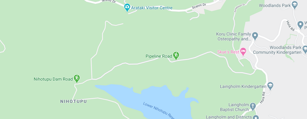
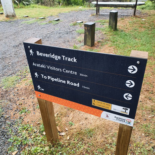
Our walk started at the Arataki visitor centre, there are a few look-outs, toilets and lots of car parks. Apparently there is usually a food place but he was closed when we arrived (at 7:30 am)


After finding a place to park (and finishing our breakfast) we headed towards the entry of the car-park to find where our track started. The tracks are pretty well sign posted which is helpful as I usually get lost. Right as we arrived the rain started, but at least it ended the 47 day drought that Auckland has had (the longest on record), it also meant that we did not get to hot.


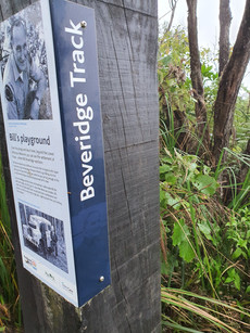
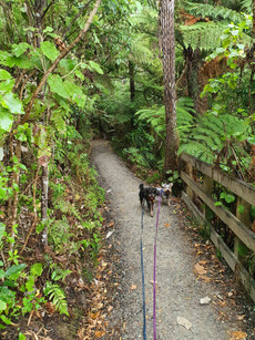
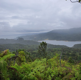
Our walk started at the Beveridge Track, this is a well maintained track and has signs about biking along the path we didn't see any bikers however. Most of this track is downhill and there is meant to be a lovely view just past the picnic table. We went for a walk in thick fog so we couldn't see much of the view.


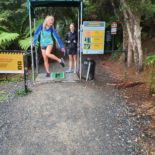
We did however come across a lot of off-leash dogs (its on-leash guys, please listen), some of them were in the forest. This is especially bad as they could carry dirt on them and deposit diseases along the forest floor (I.e Die Back).
We followed the path downhill (it's mostly down hill) until we hit a fork in the road.


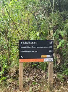
The signs along this track are easy to read, with the odd plaque to read with historical facts. After walking along the path for a few km we came across a few look-out points and another die-back cleaning station. There was a little table after the cleaning station where we stopped to see some of the dam views, as the fog was lifting.


Then we followed the signs along down onto exhibition drive, I thought we were lost here. It is a urban road in a small suburb/street. Again all down hill, we followed the road around 600m - 1km until the next sign appeared with the turn off.


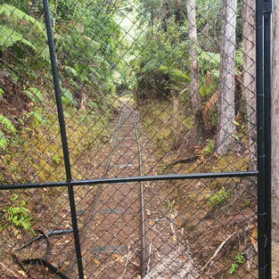
We turned off Exhibition drive and onto Pipeline Road (not to be confused with the pipeline track which is closed).


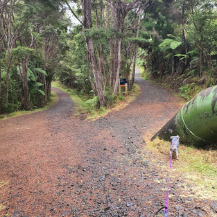


Some of the pipeline track was steep and slippery. The gravel stones make it harder and it was quite sharp on Eds feet. He started to walk along the curb side grass instead of on the steep gravel road.
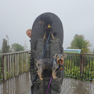
We then joined onto the slip track which is basically newly made board walks and stairs straight up until you reach the visitor centre. At the top there is a look-out where you can see most of the Waitak's (we had fog and rain). Through another die-back station and back to the car park we ended or loop, hot and wet, but it was fun and we would do it again.


Summary
Lots of facilities at the visitor centre although I couldn't find a bin
Distance - 6.2 km (mostly up and down)
Easy walk - paved and mostly sign posted clearly
Walk time - 1 hour 20 min
Total time - 1 hour 50 min
Flights - 49
Loop walk
Dogs on leash
Multiple Die back cleaning stations
Potential for nice views in good weather


Comments